Smarter Monitoring from the Sky

Our Services
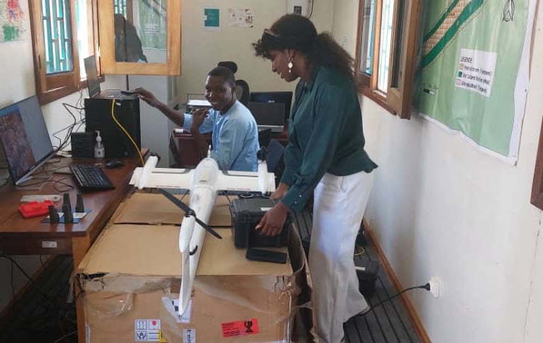
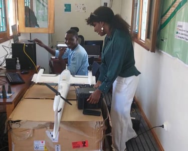
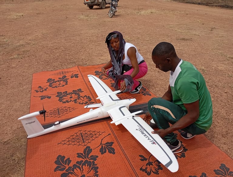
From Drones to Geospatial Data
Drone mapping, inspection and monitoring for pipelines, natural resources and infrastructure.
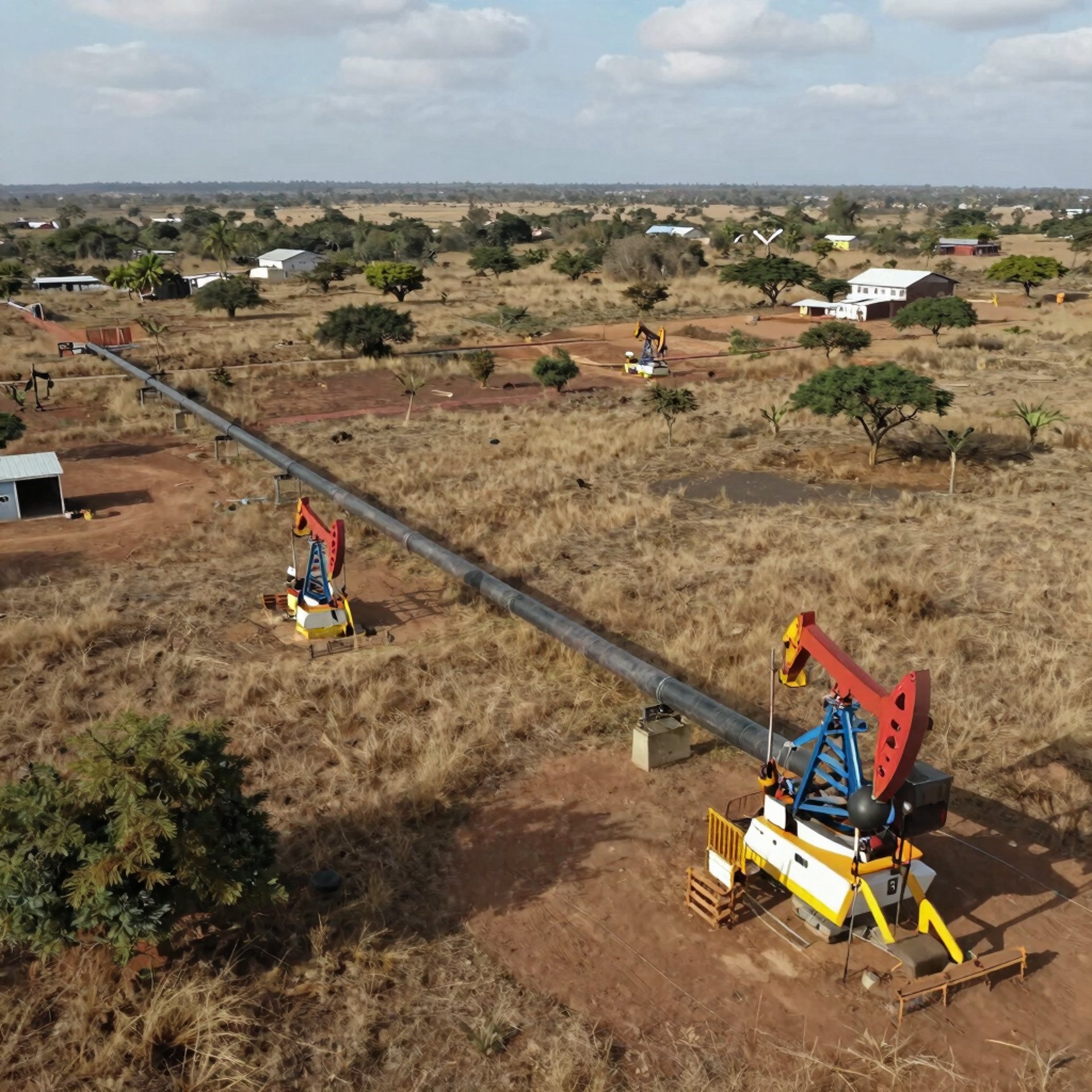
Pipeline Monitoring
Leak Location Marking, Vegetation Inspection & Damage Documentation


Natural Ressource Management and Agriculture
Landuse Dynamic, Deforestation, CO2 Sequestration Measurement
Measure volumes, monitor progress, and assess the stability of construction and infrastructure projects.
Construction & Quality Management


Supervising